ML Products.
How we build models for Bangladesh's land records, maps and imagery — what works, what does not yet, and what it means for fair land valuation.
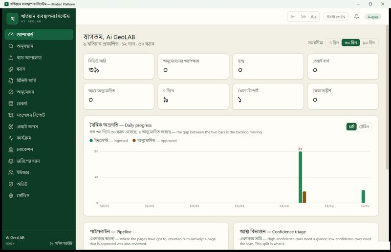
The Khatian Platform, Where Records, Maps and Ground Meet
The Khatian Platform brings our three models together in an offline desktop application that takes a land office from scanned pages to published, searchable records, with people in control.
Read the post →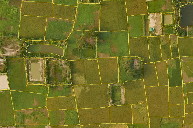
What the Land Looks Like Today
Using 10 cm aerial photos from 2025, our model outlines the fields, ponds and homesteads on the ground today, showing where land has changed since the old survey.
Read the post →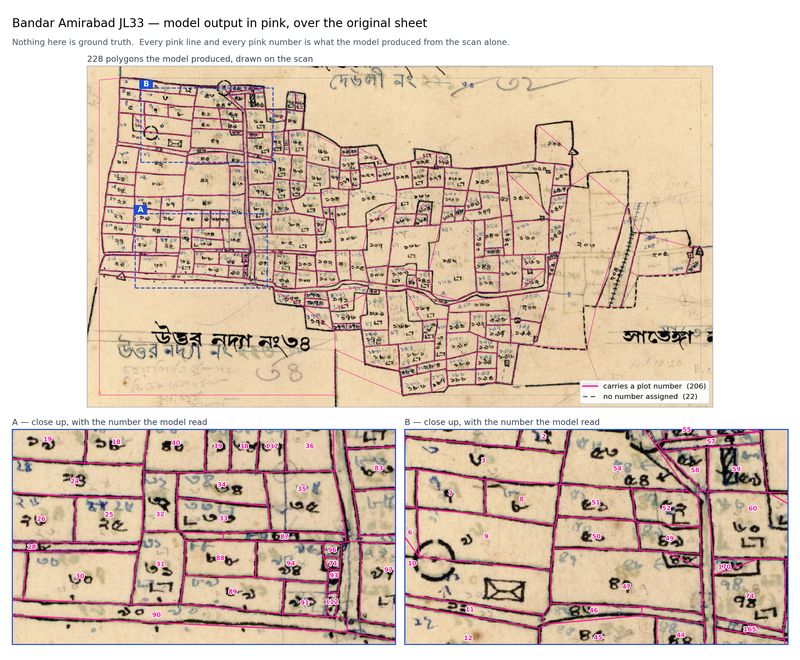
Turning Old Mouza Maps into Digital Parcels
Our model turns scanned mouza sheets into digital plots with their numbers, finding 95 percent of plots on 22 sheets it had never seen.
Read the post →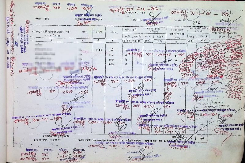
Reading Bangladesh's Handwritten Land Records
How we built a model that reads Bangladesh's handwritten khatians, scoring 91 out of 100 on the index fields where the best general-purpose AI we tested scored 16.
Read the post →Talk to us about land valuation.
See how our models and the Khatian Platform put the record, the map and today's land for each plot on one screen, running on a computer in your own office.